

MISSION STATEMENT
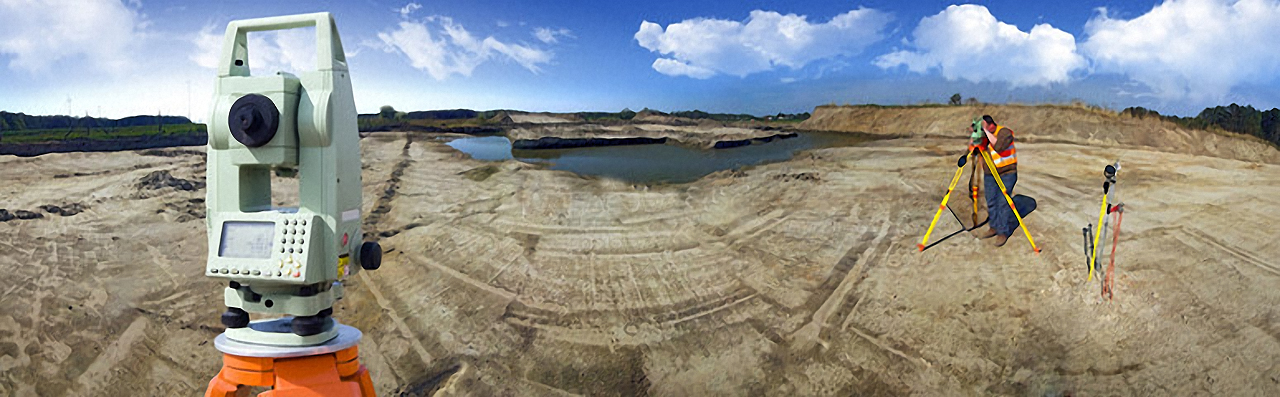
Geosurv is a Land Surveying company based in Gaborone, Botswana.
We provide you with the correct survey solution, in the shortest possible time. Using specialized survey equipment and technique, we can provide a wide range of survey services, delivering a solution to any project. Without Bias. Without Prejudice. Without Question!
Geosurv offers a full range of Land Surveying products to suit the client’s needs.
BENTLEY SOFTWARE
Barely in our thinking a few years ago, technologies such as UAVs, drones, 3D surveying, laser scanning, and 3D imaging are now essential to your work.
READ MORE
gis data capture
Geosurv can
provide GIS practitioners with the survey and capture
of data for them to further develop their databases.
READ MORE
CADASTRAL SURVEY
Land is one of the most valuable assets one can own. Ensuring
that one’s rights in the Land are protected is paramount to the
value on the Land.
READ MORE
A DIRECT ROUTE TO LAND DEVELOPMENT
WITHOUT BIAS, WITHOUT QUESTION!
PROFESSIONAL REGISTERED LAND SURVEYORS.
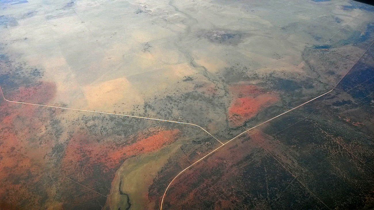
Bring accuracy to your cadastre with 2D parcel and 3D GIS space management. Map,
manage, analyse, view, and interpret the infrastructure around you, regardless of your
industry. Map data capture, visualization, production, and publishing of custom maps.
Use any type of field data to build your model, complete the design, and upload data for stakeout or automated machine guidance for site preparation.
LEARN MORE
No matter your focus, you will benefit from GeoSurv's solutions for mapping and surveying, and empower your team to create highly accurate and data-rich deliverables.